When Alex Deakin, meteorologist at Met Office presented the latest outlook on 15 October 2025, the message was clear: a big switch in the nation’s weather pattern was about to unfold. The briefing, streamed live on the Met Office’s official YouTube channel, laid out a transition from a lingering high‑pressure ridge to a series of low‑pressure systems that would drench the UK with rain and gusts by the end of the month.
What’s driving the change?
The Met Office’s 10‑day forecast, released at 00:11 UTC on 15 October, highlighted a deepening trough over the North Atlantic that was set to replace the stable high that had kept the country relatively dry since early September. Model ensembles showed “really good agreement” – a phrase senior forecaster Dr James Bennett described as “surprising for an eight‑day outlook”. The trough is linked to a powerful Pacific typhoon that, while not expected to reach the UK, is influencing the jet stream’s configuration, nudging cold Arctic air southward.
Timeline of the upcoming storm series
- 15 Oct 2025 – Met Office releases comprehensive 10‑day outlook, warning of high‑to‑low pressure shift.
- 16 Oct 2025 – Video titled “Goodbye high – Met Office weather forecast UK” confirms the end of the dry spell.
- 17 Oct 2025 – Detailed update “Here comes the rain” shows low‑pressure models converging over Norway and Sweden.
- 18 Oct 2025 – Saturday is dry and sunny; clouds begin to thicken westward.
- 22‑24 Oct 2025 – A series of fronts bring intermittent showers across England and Wales.
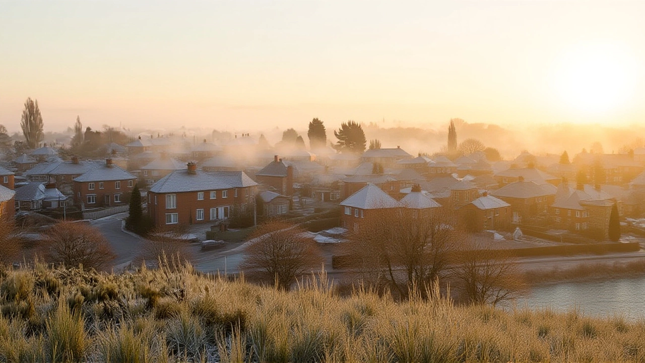
- 25 Oct 2025 – Main low‑pressure system pushes into the British Isles, ushering in a north‑westerly wind that drops temperatures by 5‑7 °C.
- Nighttime: frost expected across low‑lying areas.
- High ground: brief snow flurries on Scottish peaks.
- Late Oct 2025 – Potential for a second low‑pressure swing, depending on Atlantic wave activity.
Three‑month outlook: what the numbers say
On 17 October, the Met Office unveiled its seasonal outlook for October‑December 2025, a piece reported by Athena Stavrou of The Independent. The probabilistic forecast puts the odds at:
- 55 % chance of near‑average temperatures (0.9× the climatological norm).
- 30 % chance of a mild season (1.5× normal).
- 15 % chance of a cold spell (0.8× normal).
- 70 % probability of near‑average rainfall.
- 20 % chance of a dry period, 10 % chance of a notably wet month.
The statement emphasised that “consistent with our warming climate, there is an increase in the likelihood of mild conditions”, yet warned that “north‑westerly outbreaks raise the risk of colder spells and winter‑type hazards later in the season”.
How the public and businesses are responding
Local councils in the north‑west have already begun pre‑positioning grit trucks, anticipating that the frost on 25 October could make roads slick. Farmers in East Anglia, traditionally reliant on a dry August, are adjusting planting schedules, noting that “the rain could be a blessing for soil moisture, but the late‑October chill might hurt early winter crops”, says agricultural adviser Tom Ellis.
Meanwhile, outdoor event promoters are scrambling to amend ticket policies. The Edinburgh Festival’s October concert series, slated for the 23rd‑27th, issued a statement: “We are monitoring the Met Office alerts closely and will communicate any changes no later than 48 hours before each performance.”
Why the shift matters for everyday life
Beyond the obvious inconvenience of soggy shoes, the forecast carries a cascade of secondary effects. Energy demand is projected to rise 8 % during the first week of November, according to the Department for Energy Security, as homes brace for colder nights. Health officials caution that periods of damp, chilly weather can exacerbate asthma and respiratory infections, especially among the elderly.
Transport networks are not immune either. The Rail Safety and Standards Board expects “potential delays on routes passing through the Pennines” when the low‑pressure front brings heavy rain and gusts exceeding 50 mph. Those traveling by road are reminded to check the Met Office app for real‑time warnings.
Looking ahead: what to expect after October
With the early winter pattern now set, forecasters say the UK could see a “bimodal” December – a brief dry spell followed by a second burst of Atlantic storms. The Met Office’s October 30 update hinted at a possible “Burr” scenario, where a deepening low off Iceland sends polar air south, raising snowfall odds in the Scottish Highlands to 30 %.
In the longer term, climate scientists note that the frequency of such rapid high‑to‑low pressure transitions has risen by roughly 12 % over the past three decades, a trend linked to a warming ocean surface that fuels more vigorous jet‑stream meanders. “It’s not just a one‑off event,” says Professor Laura Mackenzie of the University of Exeter’s Climate Research Unit. “The pattern we’re seeing now is consistent with the broader shift toward more volatile autumns across the UK.”
Key Facts
- Met Office forecaster: Alex Deakin
- Primary change: high‑pressure ridge → low‑pressure trough (mid‑Oct 2025)
- Temperature dip: up to 7 °C cooler by 25 Oct
- Rainfall increase: 30‑50 mm over the weekend of 22‑24 Oct expected
- Snow potential: brief flurries on Scottish peaks, no major ground‑level accumulation forecast
Frequently Asked Questions
How will the upcoming low‑pressure system affect commuters?
Commuters should expect possible delays on rail routes crossing the Pennines and increased road travel times on the M6 and A1. The Met Office advises checking live traffic updates and allowing extra travel time, especially on the evening of 25 October when gusts may reach 55 mph.
What does the three‑month outlook mean for winter heating bills?
With a 15 % chance of a cold spell and increased north‑westerly outbreaks, heating demand could rise roughly 8 % in November and December. Homeowners are urged to service boilers now and consider programmable thermostats to manage costs.
Is the rain linked to climate change?
The Met Office notes that the recent high‑to‑low pressure shift aligns with a warming climate that makes the jet stream more erratic. While no single event proves climate change, the pattern of wetter, more intense autumns has become statistically more common over the past 30 years.
Will the Scottish Highlands see any significant snowfall?
Forecasters expect only brief flurries on peaks above 1,200 m, with no measurable accumulation at valley level. The Met Office cautions against sensational headlines about a "snow barrage" and recommends hikers carry crampons if venturing above the snow line.
Where is the Met Office headquartered?
The Met Office operates from its main site on FitzRoy Road in Exeter, Devon, EX1 3PB, United Kingdom.
 Entertainment